
MARKING A MILITARY MILESTONE
Ordnance Survey benchmark celebrates 70 years at Army geographic squadron base
The first Ordnance Survey benchmark for more than a quarter of a century has been unveiled at a ceremony in Surrey, marking the 70th anniversary of the 135 Geographic Squadron Royal Engineers moving to its current base in Ewell.
The squadron, as a reserve geographic unit and as part of the Royal Engineers, can trace its relationship with OS back to 1791. It supplies hard copy maps to deployed forces and offers quick, large scale map printing service during operations, ensuring UK deployed forces, allies and partners have the authoritative mapping they need to plan, navigate and target on operations. Over 50 personnel from the squadron have been deployed to support defence operations in Iraq, Kuwait, Afghanistan, South Sudan and the Balkans, with further worldwide exercises being undertaken during the COVID epidemic.
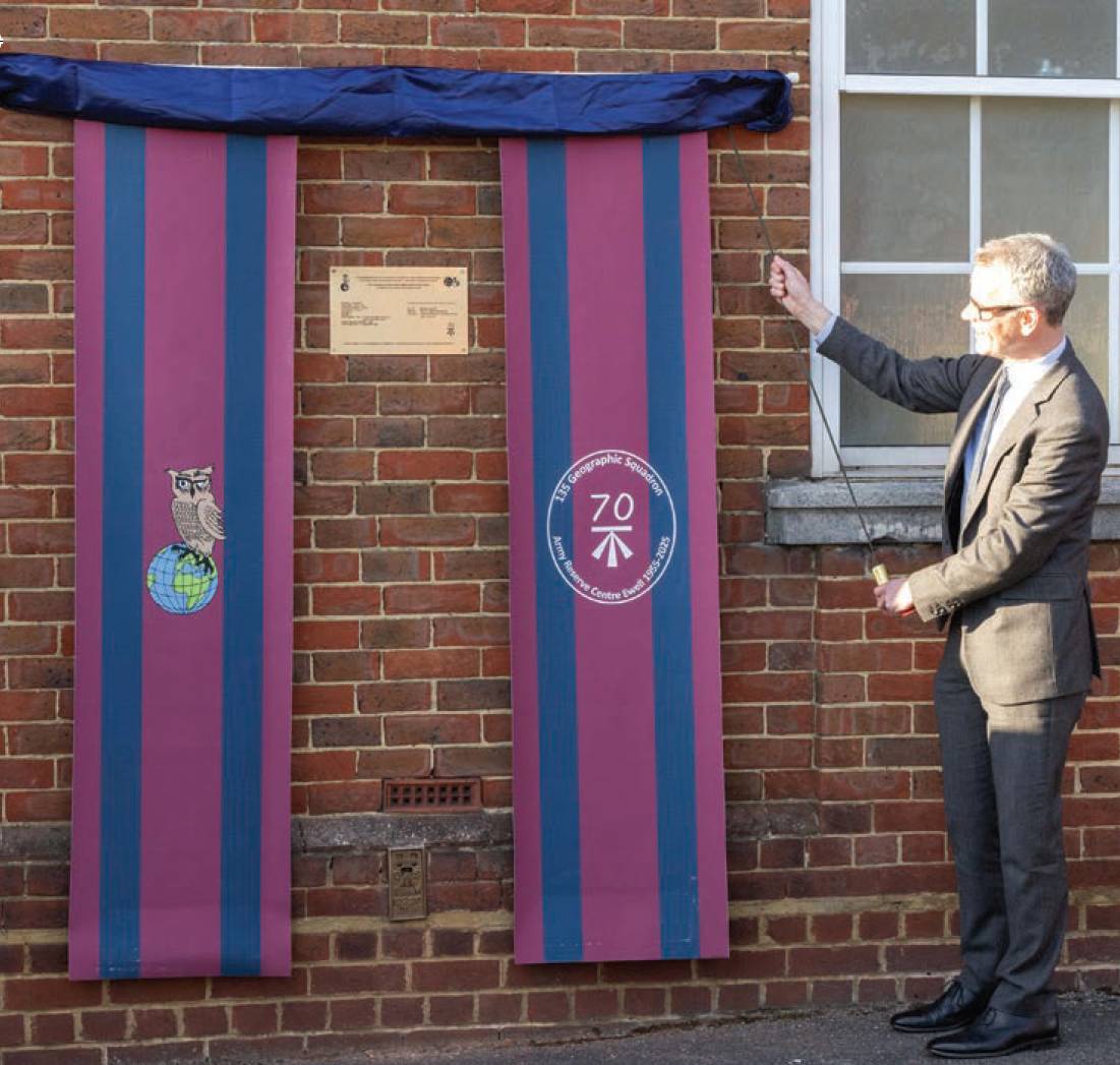
Nick Bolton, Ordnance Survey director general and CEO, unveils the plaque and benchmark.
The squadron, which moved to the Ewell Army Reserve Centre in 1955, has celebrated its milestone by establishing a ceremonial benchmark and plaque on its headquarters building Mercator House, with a nod to its geographic specialism and close connection with OS. These benchmarks record the height above Ordnance Datum Newlyn, the national height system for mainland Great Britain, and are most commonly found on buildings or other permanent features. The benchmark network has long been overtaken by modern technology and is no longer maintained; it is only represented on paper maps where it is associated with existing trig pillars. This particular one is the first to be fixed on a structure in over 25 years and has been added to the OS MasterMap.
The squadron has celebrated its milestone by establishing a ceremonial benchmark and plaque on its headquarters building.
The benchmark and ceremonial plaque were unveiled by Nick Bolton, director general and chief executive officer of OS, and marked with a parade by current personnel and veterans from the 135 Geographic Squadron.
OS’s first civilian director general, Walter P. Smith, was a former commanding officer of the regiment, and the current honorary colonel of the squadron, Colonel Vanessa Lawrence, was also a former director general of OS from 2000 to 2014. Two of the three squadrons in what was previously known as 135 Survey Engineer Regiment (Territorial Army) were originally based in 1949 alongside OS offices in Chessington (337 Topographic Squadron) and Southampton (338 Cartographic Squadron) in order to recruit from these appropriately skilled workforces.
OS has recently launched its own armed forces network to bring together veterans, reservists and military family members who work in its community. As well as signing the Armed Forces Covenant in 2024, OS was also recognised with a silver award from the Ministry of Defence’s employee recognition scheme (ERS)1.
OS’s deep connection with the military dates back to the 18th century when a young engineer named William Roy was tasked with creating a detailed map of the Scottish Highlands. This project took eight years to complete and laid the foundation for modern surveying techniques, as well as for OS as an organisation.
Britain’s entry into the first world war saw an explosion in demand for OS maps as part of the war effort and a map-making factory was built near the front to produce thousands of battlefield maps. During the second world war, OS reverted back to a war footing, producing 300 million maps throughout the period.
Today, OS continues to support the military by providing essential geospatial data and mapping services. It maintains close links with the Ministry of Defence and, in February last year, OS location data supported both police and the military during the emergency response to an unexploded bomb in Plymouth 2.
1 https://serfca.org/south-east-silver-ersawards-2024/
2. https://www.ordnancesurvey.co.uk/blog/howmapping-supported-risk-analysis-for-plymouth-evacuation