News Roundup
Building NUAR
The next phase of the National Underground Asset Register
THE UK government has launched the build phase of the National Underground Asset Register (NUAR). This next phase will see Atkins delivering NUAR, along with 1Spatial, Ordnance Survey, Geoplace, Connected Places Catapult and Ernst & Young.

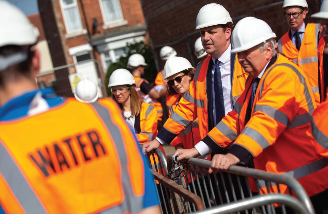
Lord True CBE, Minister of State at the Cabinet Office, at the launch of NUAR on 7 September in Darlington. He commented: “This new digital map of the UK’s underground utilities assets demonstrates our commitment to putting innovation at the forefront of the UK’s economic recovery and ambition to build back better.
NUAR – one of the flagship projects to come out of the Geospatial Commission since its launch in 2018 – is a digital map of the UK’s underground pipes and cables, bringing together utility providers, industry, mapping agencies and local authorities to share and manage numerous disparate data sets. There are 1.5 million kilometres of underground services in the UK, and £2.4bn of what the Geospatial Commission calls ‘lost value’ occurs each year due to accidental utility damage. This amount is on top of the harm to human life, with the Energy Networks Association reporting that from 2015-2020, 354 people suffered life-changing injuries after striking a live underground electricity cable.
Once operational, NUAR is expected to deliver around £350m per year in benefits by avoiding accidental asset strikes, improving the efficiency of works and better data sharing. Alongside the economic and safety benefits, NUAR is being launched as part of the government’s efforts to ‘build back better’ after the COVID-19 pandemic. The platform sits nicely within the digital transformation agenda and will improve data-led decision-making. Fast access to utility data and reduced disruption will improve the productivity and efficiency of construction projects.
Regional rollout
An unanticipated box NUAR ticks is the ‘levelling-up’ agenda, with the Welsh government, Tees Valley Combined Authority and Greater London Authority chosen for the first build phase. Following the launch event in Darlington on 7 September, a statement from the Geospatial Commission specifically referred to levelling up, saying NUAR “further demonstrates the integral role the [North East] region is playing in utilising the expertise available in all corners of the UK and building on the nation’s levelling up agenda.”
Following North East England, Wales and London, NUAR will be rolled out to the remaining regions in England and Northern Ireland. Whether Scotland will be covered by NUAR remains an unknown. The Geospatial Commission has explained that Scotland already “benefits from a system of this kind” in the Scottish Road Works Register, and that it will work closely with the Scottish government on future developments.
NUAR and surveyors
How surveyors will work with NUAR is yet to be fully determined. CICES members have been represented on the NUAR steering group through Janos Dobsi, who chairs the institution’s Utilities and Subsurface Mapping Panel (USMP). Another member of USMP is Neil Brammall, a CICES fellow, who is technical lead for the Geospatial Commission on NUAR. Both Dr Brammall and Holger Kessler from the Geospatial Commission will be working with the panel and the wider survey community to ensure surveyors are represented and enagaged with as NUAR develops.
There are security considerations around NUAR and the availability of what is in some cases highly sensitive data. Because of this, USMP has written new best practice guidance on secure data management with advice from consultants from the government’s Centre for the Protection of National Infrastructure. ‘Secure Data Management for Utility Surveys’ will be published shortly and made freely available.
More information on NUAR for owners or operators of buried assets is available from
geospatialcommission@cabinetoffice.gov.uk